
Research Projects in Architectural Informatics
Current research topics from the field of architectural construction and urban informatics are investigated in the form of individual scientific projects.
The class spans two terms where:
-
During Term 1:
- Research Planning: Determine the scope of the project, formulate the research questions and implementation strategy. Plan the execution and validation of experiments as well as the dissemination of the results.
- Literature Survey: Investigate the state of the art regarding underlying research topics from scientific literature
- Technological background: Get familiar with the required technologies, e.g. data modelling, programming excercises, study the available soft- and hardware frameworks related to the topic.
- Reporting & Presentation: Report and present the projects on a regular basis to peers, supervisors and potential industry stakeholders
- During Term 2:
- Research Exececution: Based on the research questions, scope and research plan from term 1, execute the research in a structured manner. This more often than not includes the creation of data models, simulation models and software prototype implementations (e.g. in the form of plugins to existing tools, stand-alone protypes, mobile apps etc.) based on knowldedge and skills aquired in term 1.
- Research Planning: Determine the scope of the project, formulate the research questions and implementation strategy. Plan the execution and validation of experiments as well as the dissemination of the results.
An initial seed of research project ideas include:
Focus ares Design Compuation
TCR
Visualising "Verkehrswende"
- Inpainting of google street view images with new situations
- Derive cititizen-targeted visualizations from traffic planszations from traffic change proposals.
- Tools for urban tree cadasters
Isochrone travel time for bicycles with terrain considerations
In this research project, novel ways to incorporate bicycle traffic parameters into the analysis and planning of urban landscapes are investigated. As a primary target, extensions of isocrone maps for urban areas are being investigated that take the conditions for efficient bicycle lanes as a means of transportation into account. These factors include e.g.
- terrain information including the elevation and steepness of slopes
- pavement conditions (cobblestone, defects, winter conditions etc.
- overall conditions (roadside, dedicated bicycle path, traffic, stationary traffic, obstacles such as train tracks etc.)
The project is devided into several phases
-
Research Planning: Determine the scope of the project, formulate the research questions and implementation strategy. Plan the execution and validation of experiments as well as the dissemination of the results.
- Literature Survey: Investigate the state of the art regarding underlying research topics from scientific literature
- Technological background: Get familiar with the required technologies, e.g. data modelling, programming excercises, study the available soft- and hardware frameworks related to the topic.
- Reporting & Presentation: Report and present the projects on a regular basis to peers, supervisors and potential industry stakeholders
- Research Execution: Based on the research questions, scope and research plan from part 1, execute the research in a structured manner. This more often than not includes the creation of data models, simulation models and software prototype implementations (e.g. in the form of plugins to existing tools, stand-alone protypes, mobile apps etc.). This is based on knowldedge and skills aquired in the Territorial Analysis and Digital Tools class which is mandatory to have completed.
CoRo
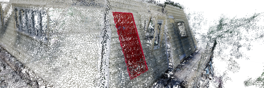
- Digital Twins on the construction site
- High-frequency 4D - Model Updates and Adjustments based on Semiautomated on-site Observations
- Event-monitoring and time series management for on-site construction activities
- Semi-automated building chunking for robotic constructability
DC generic
- Continuous transitions between Life-Cycle stages in Design, Planning and Construction
- Knowledge Organisation in Design and Construction using structured Vocabularies, Language Models and Knowledge Graphs.
- Distributed Real-time Remote Collaboration and 3D presentation with VR and AR
- Workflows and integration of Open CAD Geometry Kernels and BIM in Open Source tool chains
- Integration of Material-Related Environmental Product Data
- Semi-automated IFC model enhancements for visualization purposes
- UV Mapping for IFC models based on parametric element types
- accurate placement of multi-layer shaders for accurate defect location and documentation in large objects
- Automated Linking of Heterogenous Building Data Sets using Machine Learning and/or spatial inference
- Automated view-point generation for BCF issues
- off-site multimedia enrichment of building models with images
- Bidirectional Spatial Linking of documents (e.g. text, images, tables) with BIM
- Long-Term monitoring systems and archival of complex buildings
- Semantic enrichment of Material-related information
Image by Luk Vermeulen